
GeoAI at the ISPRS Conference
Toronto, 1. 7. 2026
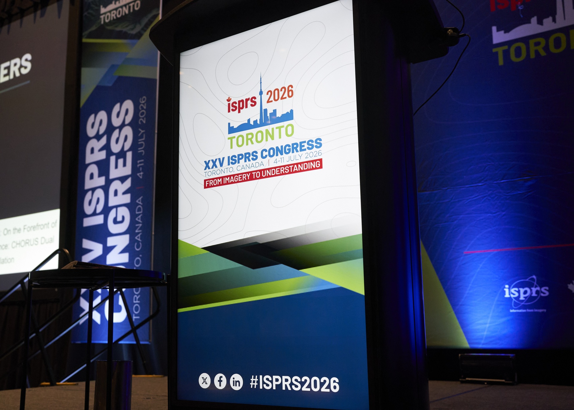
Members of the project team, who conduct research in the fields of Earth Observation and geoinformatics, attended the 25th Congress of the International Society for Photogrammetry and Remote Sensing (ISPRS). The conference was held in Toronto between July 4 and 11, 2026. The ISPRS Congress is considered the largest and most important professional and scientific event in the fields of photogrammetry, remote sensing, and geoinformatics worldwide.
The Congress in Toronto, hosted by the Canadian Remote Sensing Society (CRSS-SCT), was attended by more than 2,000 participants from 93 countries. During the congress, there were 775 presentations divided into 137 sessions. Additionally, the congress featured 552 short presentations accompanied by posters.
The thematic focus of the congress was on geospatial artificial intelligence and machine learning in geoinformatics, showcasing numerous modern methods for capturing, processing, and visualizing spatial data. Many presentations included the latest development challenges, such as Gaussian splatting in photogrammetry and point cloud processing, while topics in remote sensing and spatial analytics were dominated by machine learning and deep learning, and geoinformation services featured advanced 3D and 4D modeling in connection with geospatial digital twins and artificial intelligence. Slovenian participants contributed eight short presentations at the congress, presenting current projects in the fields of Earth observation, topographic databases, 3D modeling in geoinformatics, and geospatial digital twins.
In addition to the rich professional program, the ISPRS conference in Toronto was an excellent opportunity for networking. Among other activities, we participated in the EuroSDR thematic session at the conference, where special emphasis was placed on challenges in the field of GeoAI. At the congress, we also presented the results of our research work, including:
- Črnigoj, N., Lisec, A., Oštir, K., Tekavec, J., Žnidaršič, A., Vidiček, A., Šušteršič, K., Potočnik Buhvald, A. (2026). Towards a National Geospatial Digital Twin in Slovenia: Multi-Source Integration and a Flood Pilot for Hazard Management. Int. Arch. Photogramm. Remote Sens. Spatial Inf. Sci., XLIX-B1-2026, 465–471, https://doi.org/10.5194/isprs-archives-XLIX-B1-2026-465-2026.
- Gerčer, M., Grabrijan, T., Tekavec, J., Lisec, A., Oštir, K. (2026). Near Real-Time Flood Mapping from Sentinel Data Using Machine Learning Techniques, Int. Arch. Photogramm. Remote Sens. Spatial Inf. Sci., XLIX-B3-2026, 797–803, https://doi.org/10.5194/isprs-archives-XLIX-B3-2026-797-2026.
- Lisec, A., Potůčková, M., Crompvoets, J., Cahalane, C. (2026). EuroSDR e-learning for strengthening capacity in the geospatial domain. Int. Arch. Photogramm. Remote Sens. Spatial Inf. Sci., XLIX-B5-2026, 25–31, https://doi.org/10.5194/isprs-archives-XLIX-B5-2026-25-2026.
- Stojanović, L., Lisec, A., Oštir, K., Fetai, B. (2026). Detection of Cropland Abandonment through Multi-Temporal Landsat Data and Spatially Independent Machine Learning Validation. Int. Arch. Photogramm. Remote Sens. Spatial Inf. Sci., XLIX-B3-2026, 679–688, https://doi.org/10.5194/isprs-archives-XLIX-B3-2026-679-2026

Figure 1: Welcome address by former ISPRS President Dr. Lena Halounová at the opening of the congress (Photo: Northern Palm Canada)
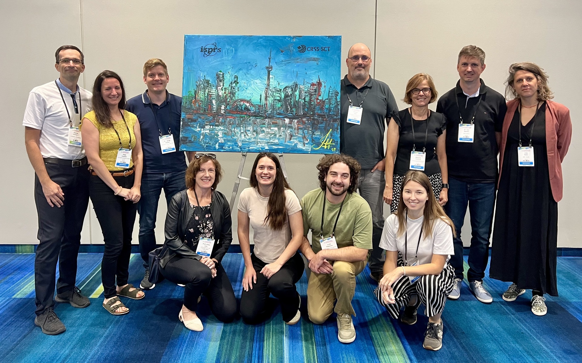
ISPRS Congress participants from Slovenia (Photo: Klemen Kozmus Trajkovski)
Upcoming Events
1. 12. 2026
1. 10. 2026