
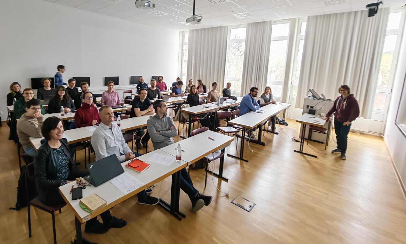
GeoAI Project Partners Meeting and Workshop
Ljubljana, April 2026
A regular meeting of project partners and a workshop took place on April 14, 2026, at the Faculty of Civil and Geodetic Engineering of the University of Ljubljana (UL FGG). At the event, work package leaders initially reported on completed and planned project activities. This was followed by a presentation of selected machine learning examples from current research at the Jožef Stefan Institute (IJS) and the Faculty of Computer and Information Science (UL FRI).
The second part was dedicated to the presentation of datasets that can be used for research purposes within the GeoAI project. Colleagues from the Geological Survey of Slovenia presented remote sensing data for characterizing the hinterland of water resources and landslides; a group from the Research Centre of the Slovenian Academy of Sciences and Arts presented remote sensing data for spatio-temporal modeling; and researchers from UL FGG presented the use of radar satellite data for flood detection and the use of multispectral satellite data for vegetation monitoring.
Upcoming Events
1. 12. 2026
1. 10. 2026